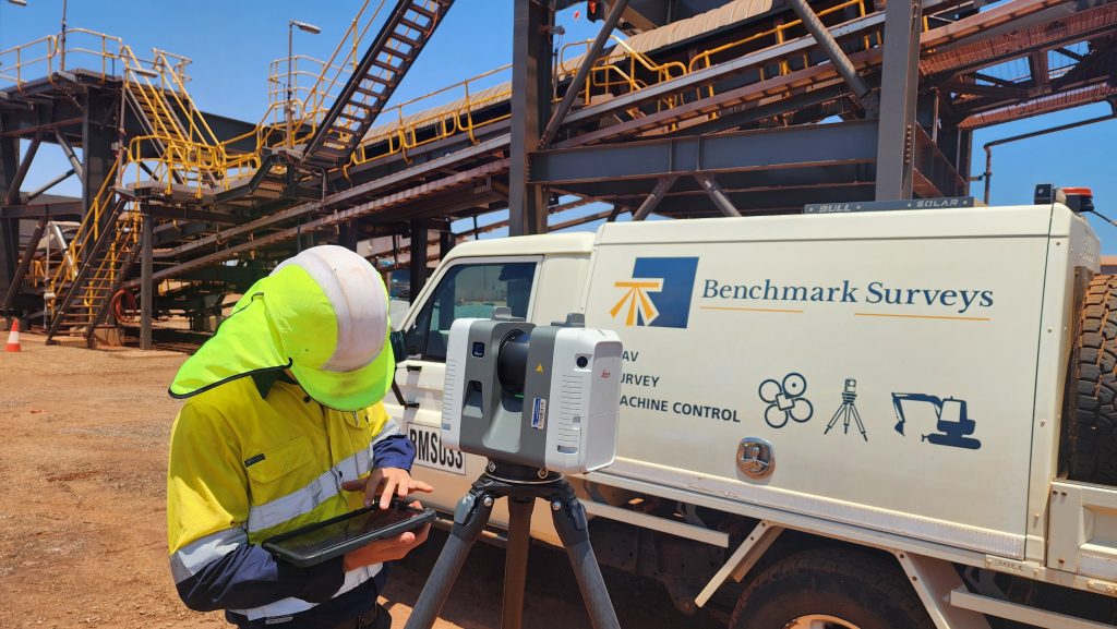
Laser scanning is a highly effective 3D imaging method for surveyors. It allows complete capture of an area in X, Y, and Z coordinates without physical contact. The scanners project a laser beam to generate a full 360-degree scan, creating millions of points that form a detailed point cloud. The combination of rapid scanning and high point density delivers precise 3D mapping of complex structures and terrains. Once captured, the point clouds can be processed into 3D models using meshing techniques, enabling accurate extraction and analysis.