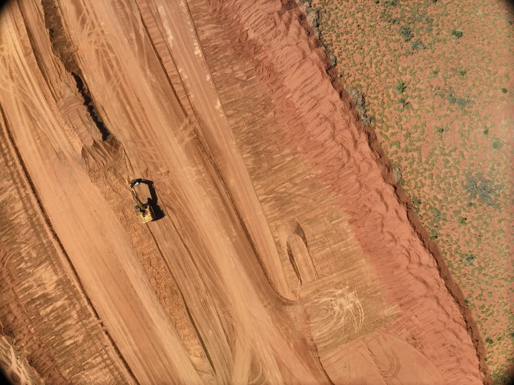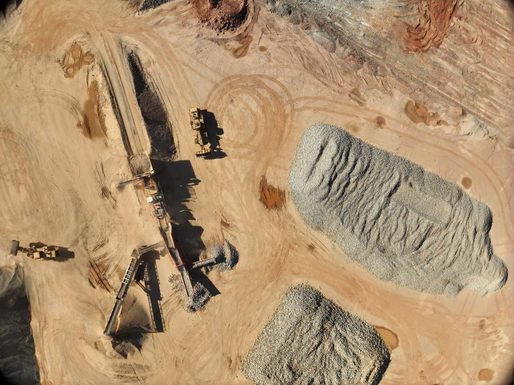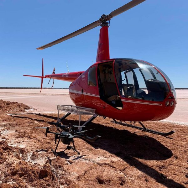
Benchmark Surveys NT has extensive experience in providing aerial survey services using Unmanned Aerial Vehicles. This technology allows for rapid data collection over large areas, providing high-resolution imagery and topographic data. We have a large fleet of fixed wing and rotary wing units and our surveyors are fully certified by Civil Aviation Safety Authority (CASA) to fly.
By combining aerial imagery with accurately surveyed ground control points, we achieve survey-grade precision across all projects. The collected data is processed through Virtual Surveyor and 12d Model, ensuring the most accurate digital representation of your site. UAV surveys also allow us to capture data in areas that are difficult, hazardous, or inaccessible using traditional survey methods. Our team can advise on the most effective approach to meet your project’s quality, accuracy, time, and cost requirements.